


We are a small business that manufactures dry erase products here in Shrewsbury, Massachusetts, USA. We work hand in hand with land surveyors, civil engineers, forestry groups and property managers to design and craft affordable, industrial-quality topography whiteboards that exceed expectations every time.
Already know what you need? Head to our shop to order or call 866-366-1500 with questions.
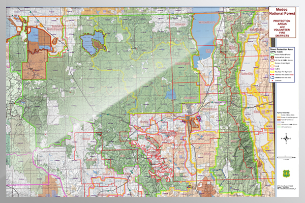
Types of Land Plats and Land Surveys
We specialize in printing aerial drone and helicopter photos, topographical or cadastral property surveys, and plats to scale with stunning, high-resolution quality. Our customers use these topography whiteboards to track tree growth, wildlife conservation sites or wildfires, development sites, wetlands or floodplains, franchise districts, or infrastructures like roads and bridges. Here are some examples of topographical property survey boards and aerial photography boards.
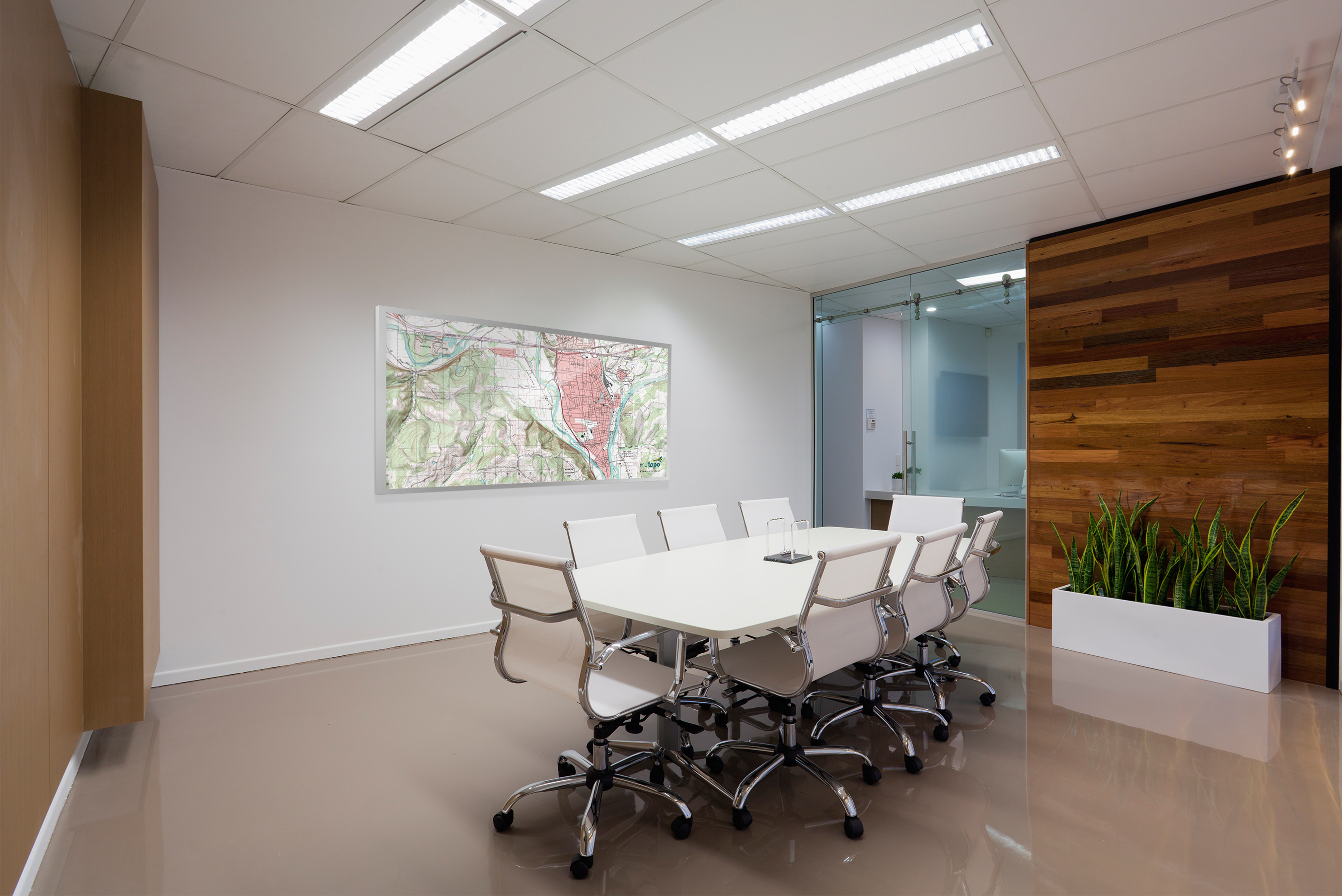
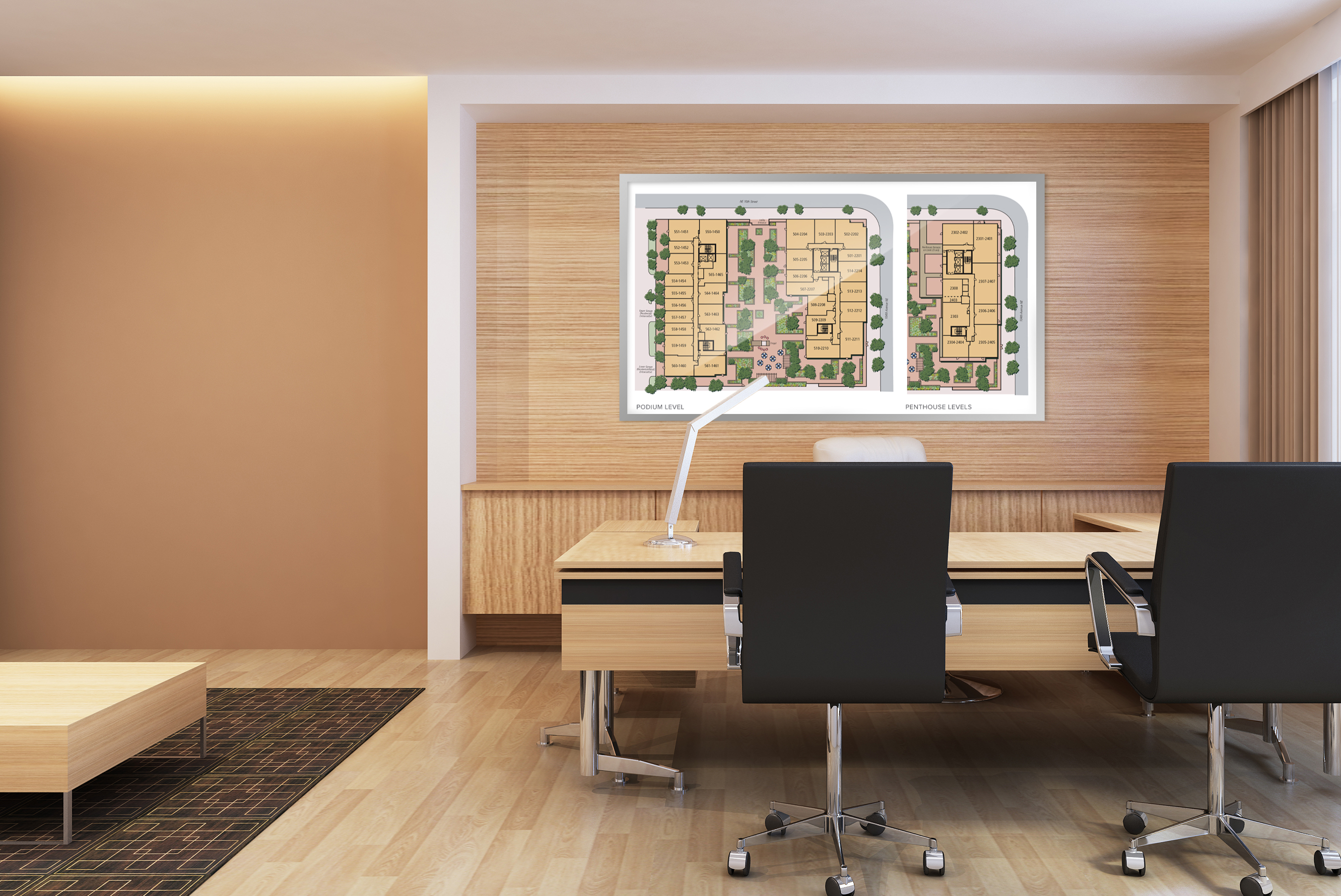
Topographical and Property Boundary Survey Boards
Topography refers to the type of land surveying that measures the natural variation in land elevation. In layman's terms, it shows you where hills and valleys are. This can help civil engineers or developers plan for a proper drainage system, avoid parts of land that are not high enough for construction, and understand other ecological boundaries. In addition to topography surveying, which mostly serves the engineer- there is the cadastral or boundary survey that helps the property owner understand where construction is possible and settle ownership issues.
 |
 |
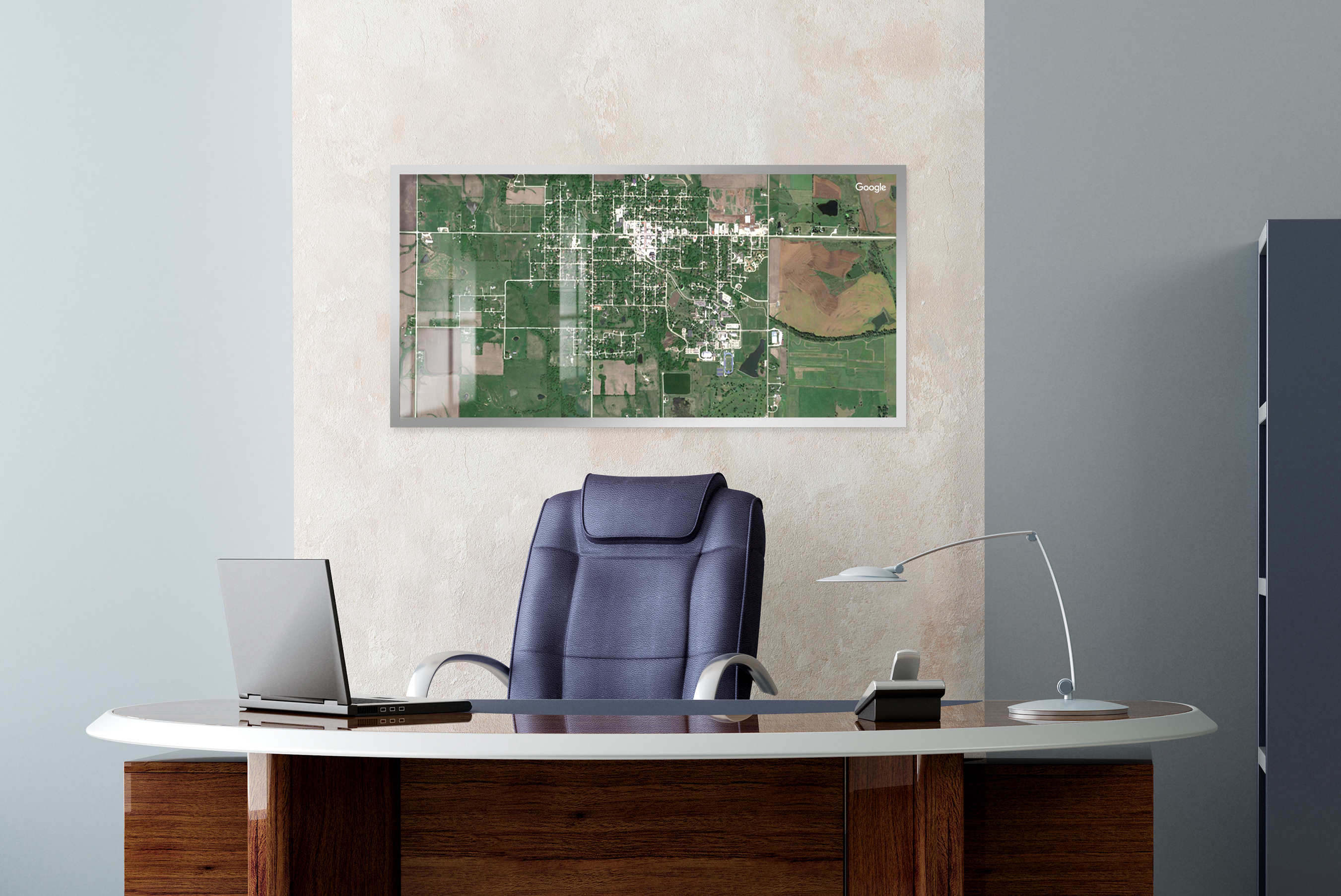
Aerial Photography Boards
Aerial photos are captured from a bird’s eye view. Labels, boundaries, cartography keys or any other design elements can be added to the raw photograph. Colored and writable magnets are a great way to track each location on the map. Check out our wide selection of accessories here.
 |
 |
Why Work with Us?
The options are endless!
- Magnetic Receptivity Option
- Dry Erase Surface Option
- Sizes up to 12’ long


Already have your photo or survey ready to be printed? Order your board here, or call 866-366-1500 if we can answer any questions for you!
Why Choose OptiMA?
We are a small business making our products in the USA. We specialize in dry erase boards, dry erase wallcoverings, portable dry erase units, high-quality custom printed whiteboards, fast shipping, and five-star customer service. Over the last three decades, we've worked hard to deliver industrial quality whiteboard solutions that won't break customers' budgets.